Find and understand sites
Explore site studies and scenarios
Read an illustrative site study and compare height scenarios without mistaking either for an approved design.
Read a site study
Some records include an annotated planning drawing labelled Illustrative study. Numbered points on the drawing mark features of the place.
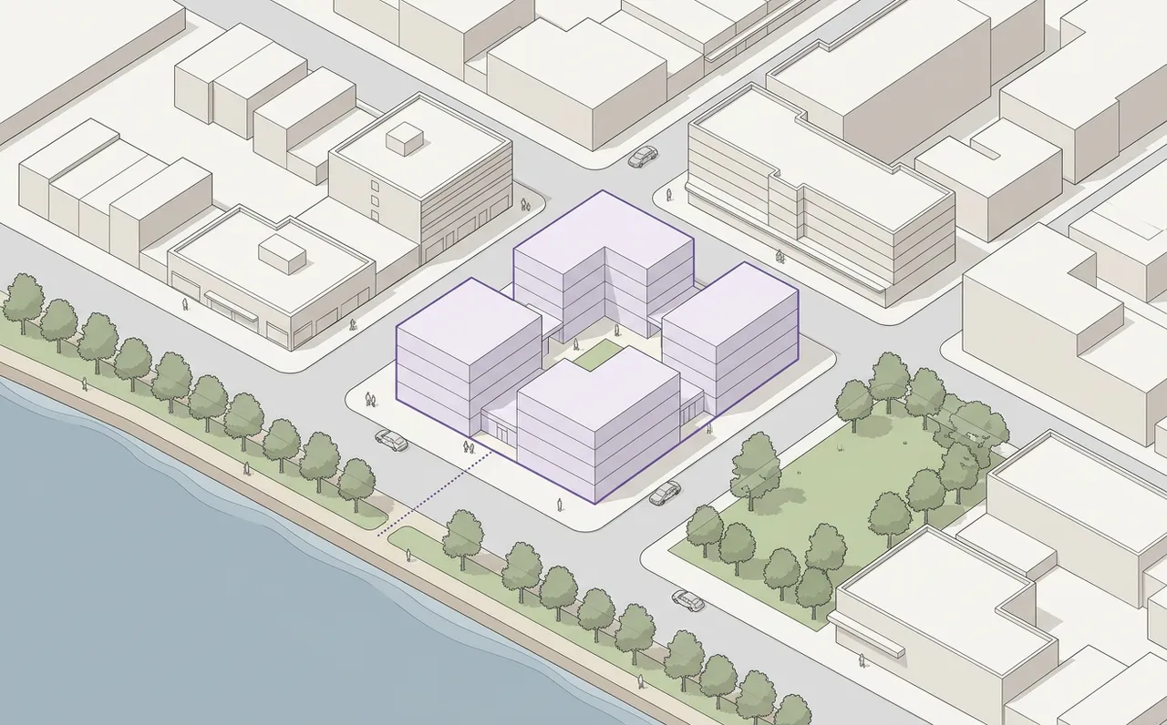 Illustrative study
In this study
About 2.1 acres. The pale blocks show the 4–5 storey Medium scenario to give a sense of scale.
Read more: Development siteThe property record describes the parcel as waterfront-adjacent, in the Marina Bay district.
Read more: Bay shorelineShows how a future project could connect to the shoreline. It is not part of any proposal.
- Select a numbered point, or its entry in In this study, to read what it marks.
- Choose Read more to jump to the related section of the page.
- Where the project is open for input, Comment on this opens the form with that topic filled in.
Compare height scenarios
Where the City has recorded them, the property page shows low, medium and high scenarios as a simple height diagram. Every option shares one baseline and one storey scale, so bar heights can be compared directly. Solid shows the lower end of each stored storey range, dashed the upper end.
The option matching the site's recorded development intensity is marked Site intensity. That marks a recorded attribute; it is not a recommendation. Building width, footprint, site layout and parking are not drawn to scale.
What studies and scenarios are not
Site studies and scenarios help you picture a place. They are not a proposal, a design, a planning approval, a verified development capacity, or the parcel's surveyed shape. They are drawings, not an interactive 3D model or a simulation. Site studies are currently prepared for sample records only. See Classifications.